Language |
 |
Climate & Altitude
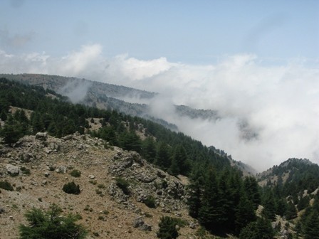
With an altitude ranging between 1,400 and 2,000 m ASL, snow covers the area of Dannieh during 3-5 months of the year (December through April) while temperatures range between 3 to 5 C in the daytime and between -3 and -11 C in the nighttime. It is warmer during spring, summer and autumn, and the mean temperatures reach 27C in August. The area receives on average of 900 to 1,100 mm of precipitation annually. In summer, visibility in the area is affected by day fog which usually appears around midday, moving up from the valleys.
Geology
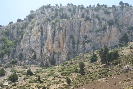
The main formation outcropping the area of Lazzab Dannieh belongs to the Jurassic Period mainly Kesrouan formation (J4) with some outcropping of basaltic formations mainly in Sahlet Ain Et Tiffaha. The Kesrouan formation belongs to the Callovien epoch of the Jurassic Period. The formation consists of massive beds of gray dolomitic limestone. The thickness of this formation in Lebanon exceeds 1,000 m.
Land cover
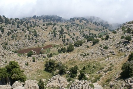
The Lazzab Dannieh Nature Reserve is dominated by expanses of juniper trees. A small area of 2 to 3 km^2 in Ketf El Bahsa and Qornet Ed Darje is covered by a cedar's forest called Arz Najib in Arabic. Small agriculture fields of chickpeas and wheat are scattered between valleys and plains. The biggest agriculture fields are located in Sahlet Ain Et Tiffaha and Tell Chima where wheat is cultivated. A large orchard of cherries, pears and peaches is located in Jouret El Boud.
Springs
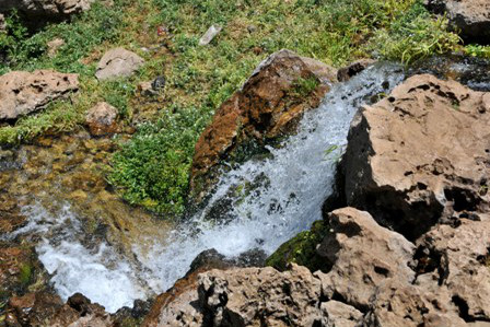
Nabaa el Sukkar, a well known spring in Dannieh, is located about 1 km south of the Lazzab Dannieh Nature Reserve, close to the Nabaa Brissa and other springs that recharge the man-made Brissa Dam. The Ain Et Tiffaha and Ras el Ain, are important springs for irrigation and grazing, flowing within the Lazzab Dannieh Nature Reserve.